Blount Emergency Amateur Radio Service
Our mission is to provide communications assistance by trained volunteer operators to public safety and other community agencies and organizations in the Blount County area during emergencies and other times of need.

Partnerships

ARES
Amateur Radio Emergency Service® (ARES) consists of licensed amateurs who have voluntarily registered their qualifications and equipment, with their local ARES leadership, for communications duty in the public service when disaster strikes.
Learn moreBlount County ARES
The Blount County ARES group is the primary group supported by BEARS.
Join their Team App

Latest News

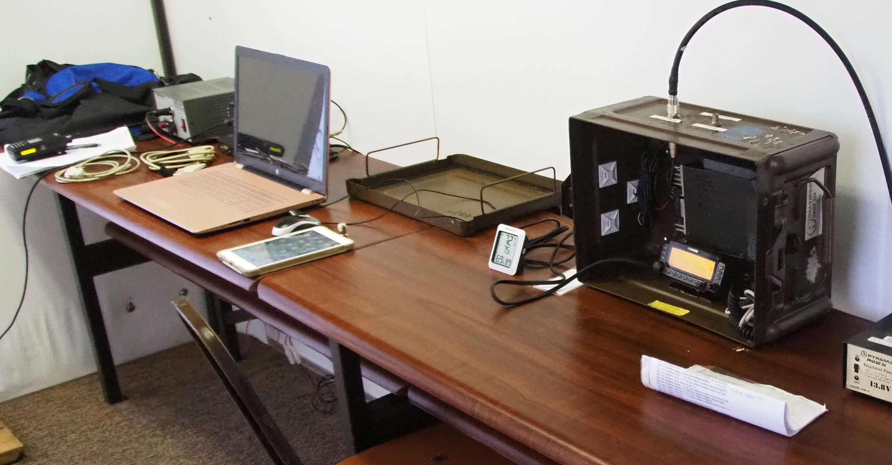
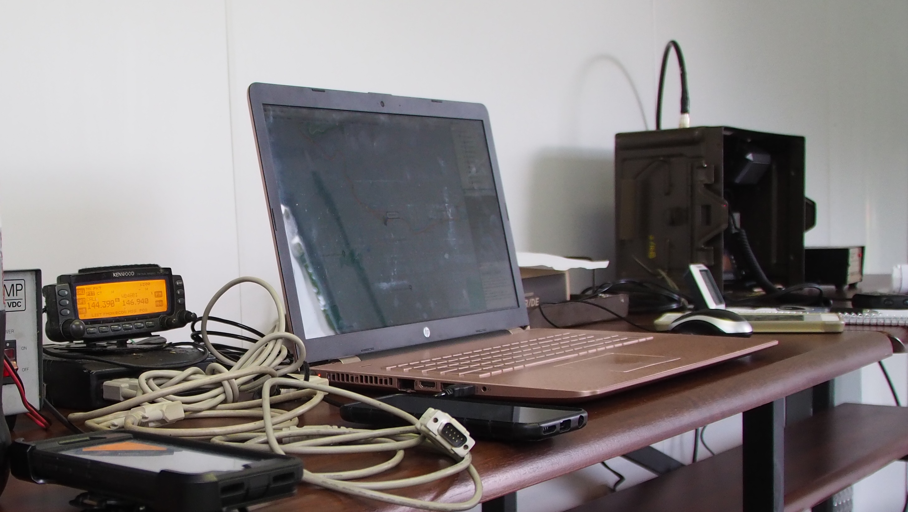
APRS and SSIDs
At the meeting last Tuesday there was a question about the SSID used for APRS.
In an AX.25 network, each station must have a unique ID. Since a operator may have more than one station on the air at the same time, the protocol allows for a "Secondary Station Identifier (SSID). The SSID is a four-bit integer (0-15) that uniquely identifies
multiple stations using the same amateur call sign.
APRS originally repurposed existing TNCs, many of which had limited abilities, so there were some conventions adopted to use the SSID to identify the "type" of station - those conventions are still used (though not require) today.
The most commonly seen SSIDs are:
0 (the equivalent of just your callsign with no SSID) for a primary station
9 for a mobile station
7 for an HT (historically the Kenwood TH-D7)
If you search the internet you'll find a variety of lists for what each SSID represents; the "original" list (by WB4APR, the creator of APRS) can be found at https://www.aprs.org/aprs11/SSIDs.txt:
-0 Your primary station usually fixed and message capable
-1 generic additional station, digi, mobile, wx, etc
-2 generic additional station, digi, mobile, wx, etc
-3 generic additional station, digi, mobile, wx, etc
-4 generic additional station, digi, mobile, wx, etc
-5 Other networks (Dstar, Iphones, Androids, Blackberry's etc)
-6 Special activity, Satellite ops, camping or 6 meters, etc
-7 walkie talkies, HT's or other human portable
-8 boats, sailboats, RV's or second main mobile
-9 Primary Mobile (usually message capable)
-10 internet, Igates, echolink, winlink, AVRS, APRN, etc
-11 balloons, aircraft, spacecraft, etc
-12 APRStt, DTMF, RFID, devices, one-way trackers*, etc
-13 Weather stations
-14 Truckers or generally full time drivers
-15 generic additional station, digi, mobile, wx, etc

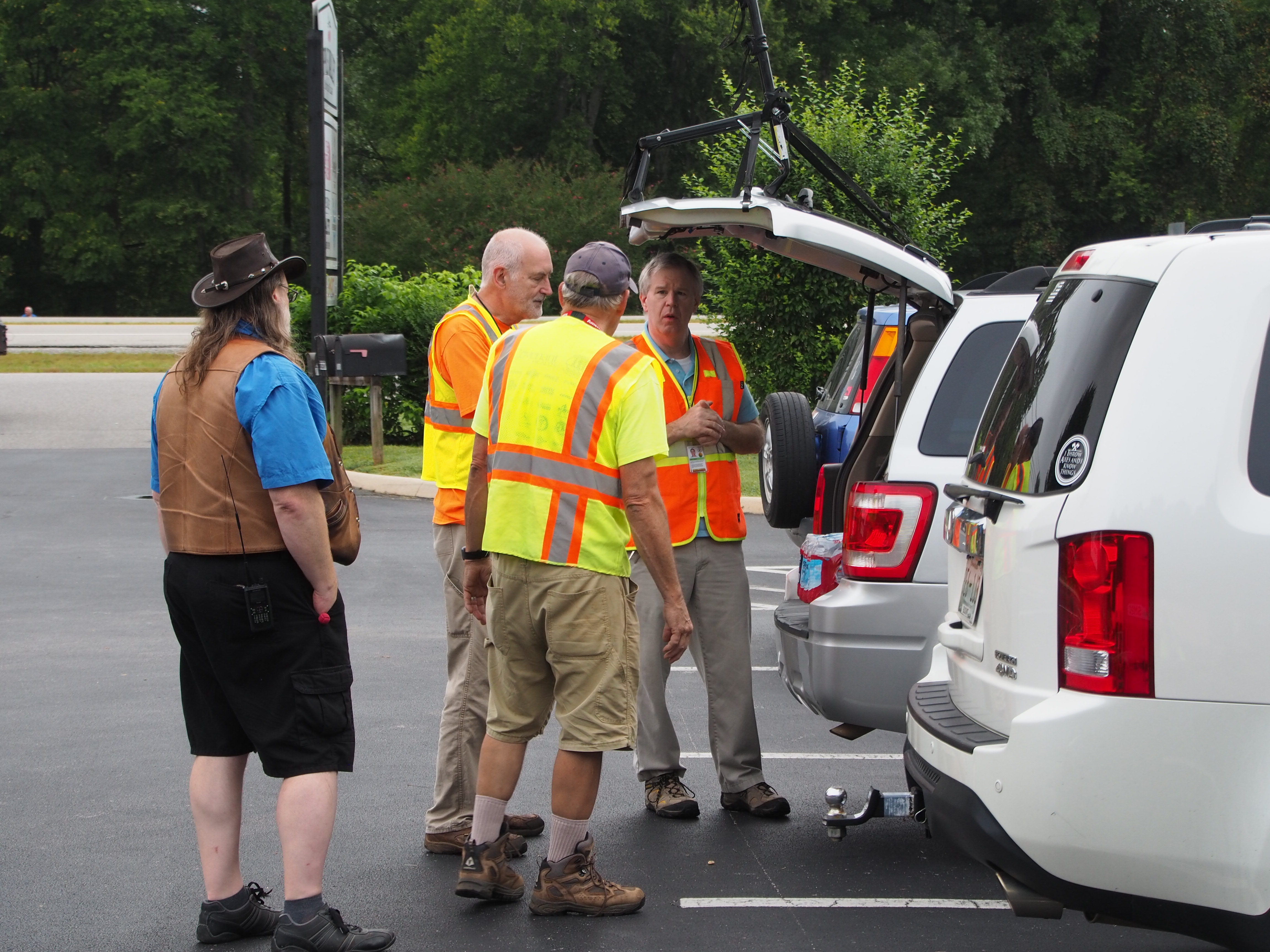
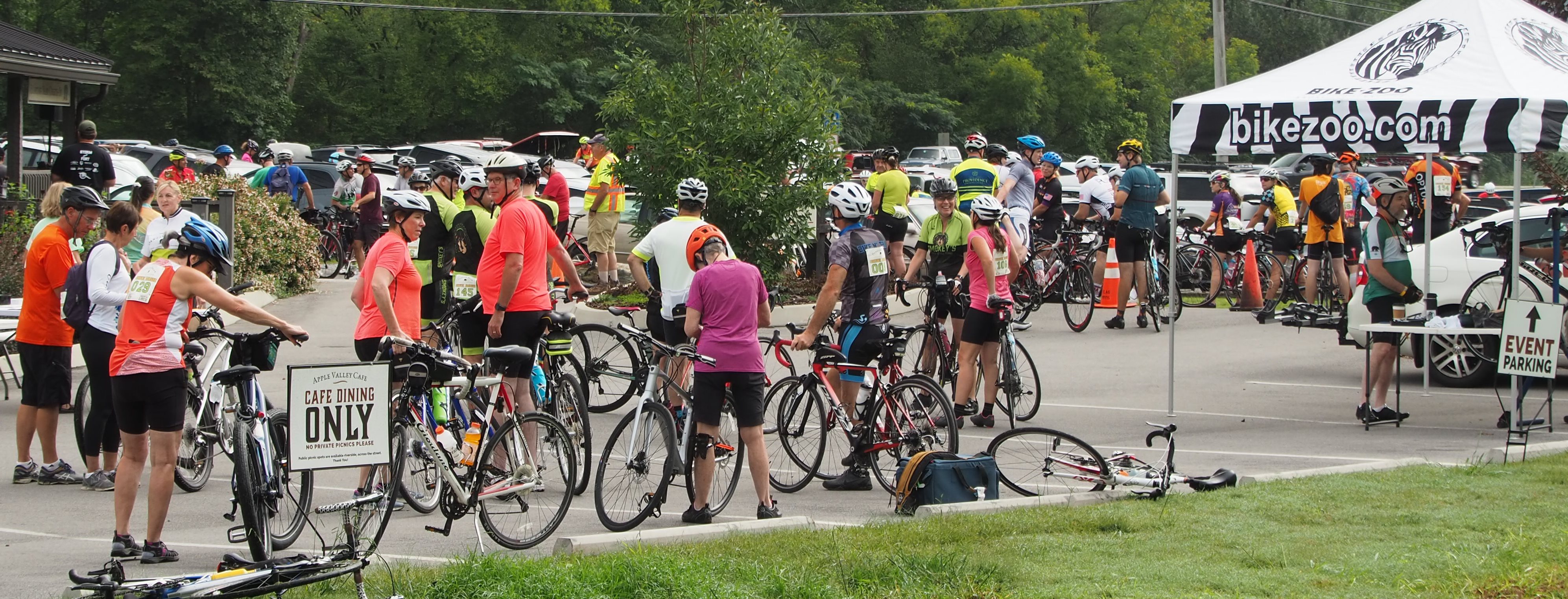
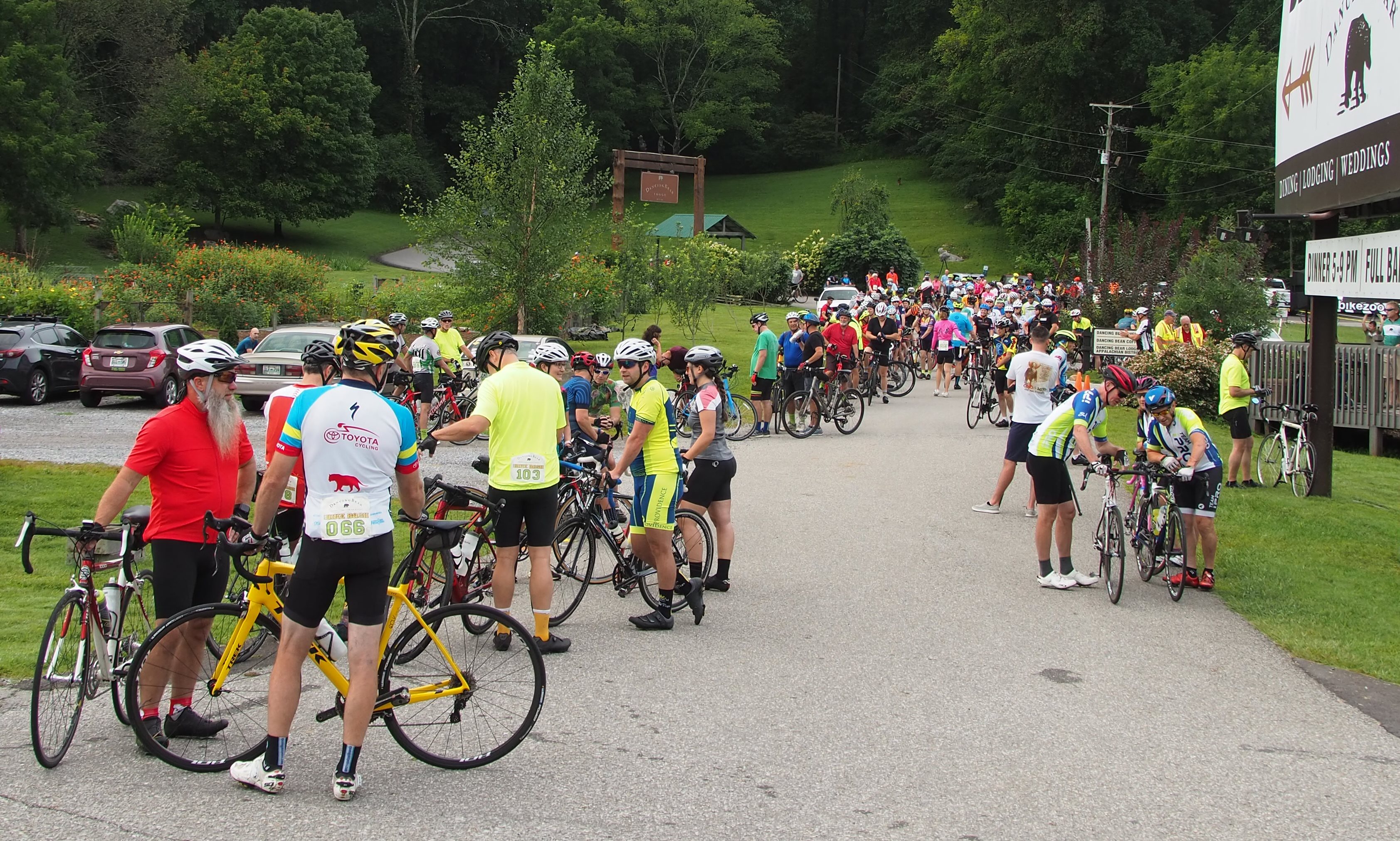
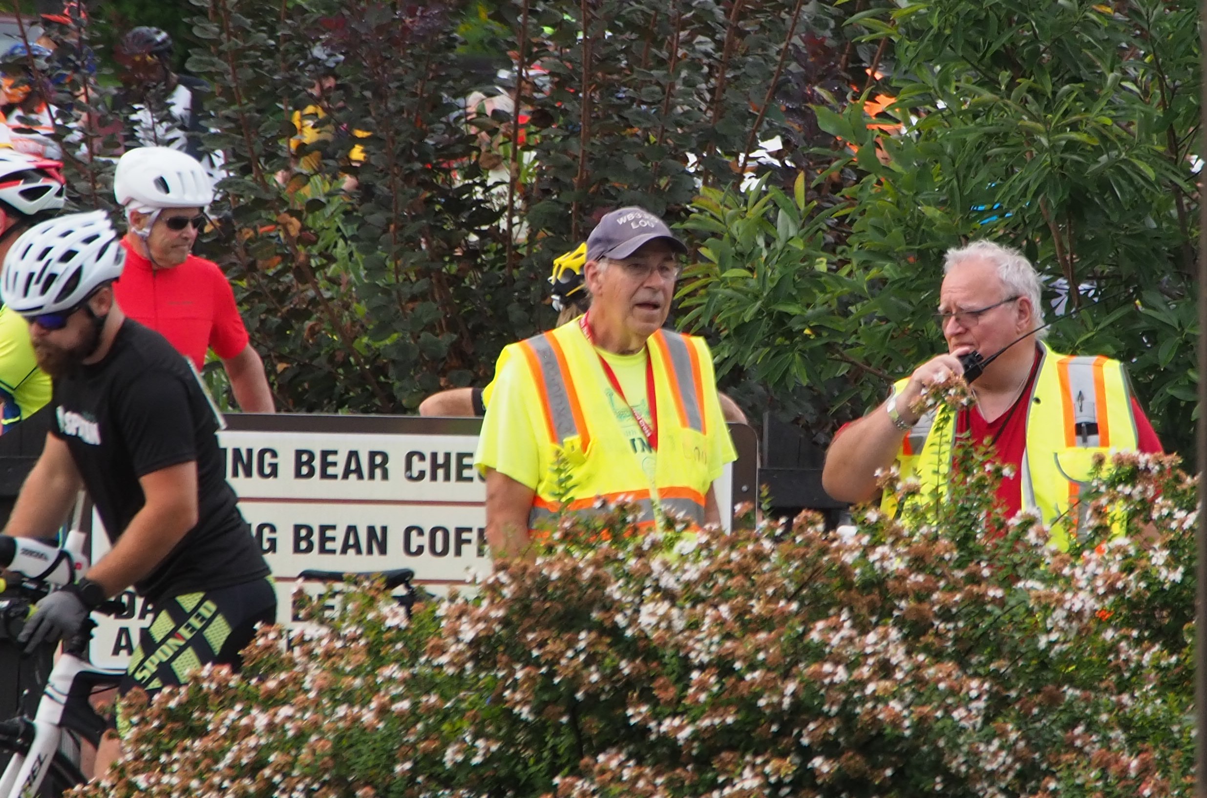
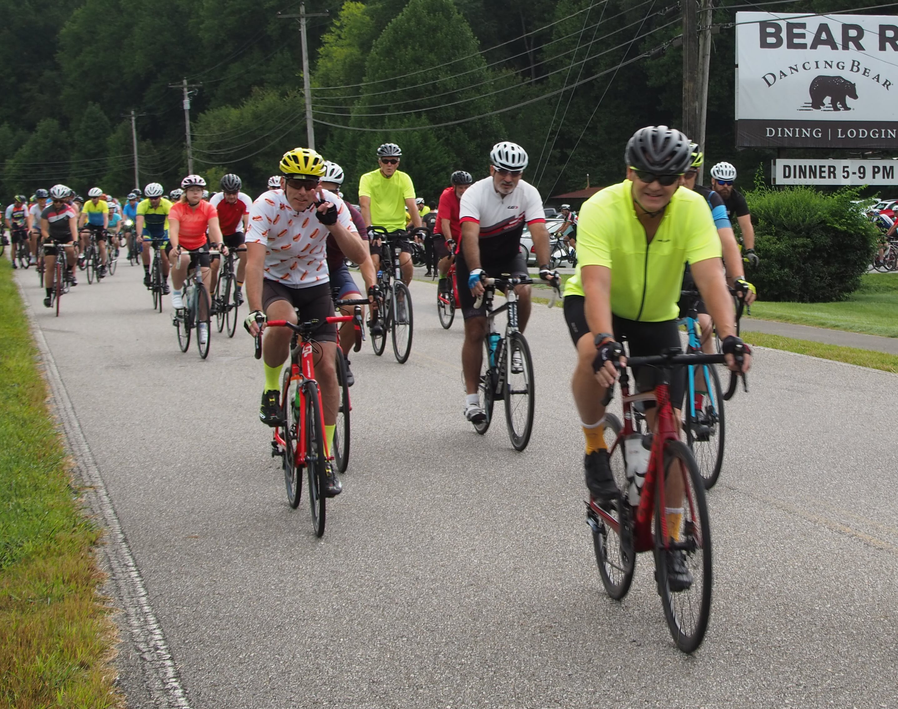
Dancing Bear Bike Bash 2025 is this weekend!
The Dancing Bear Bike Bash 2025 is this weekend!
We discussed the details at the meeting last night; if you were unable to attend last night and would still like to participate, contact Lou, WB3JKQ.
OVERVIEW
* The 2025 Dancing Bear Bike Bash will take place in Townsend, TN on Saturday, September 13.
* Race will start and finish at at 137 Apple Valley Way, Townsend, TN 37882 (same as years past).
- Maps available via RideWithGPS: https://ridewithgps.com/events/390541-dancing-bear-bike-bash Participants and volunteers are encouraged download the free RideWithGPS app and save routes offline. Note: Routes will not be fully painted/marked this year.
* The GPX files of the routs are also available at https://ki4hdu.com/mesh/events/2025DancingBearBikeBash/
* The course includes a 28 Mile, 36 Mile and 60 Mile route utilizing local roads in and around Townsend.
* Weather conditions are expected to be partly cloudy with a stray shower or thunderstorm is possible. High 87F. Winds light and variable.
* Communications volunteers are needed to provide logistical and emergency support along the race route for the duration of the event.
OUR ROLE
Provide reliable, real-time communications coverage along the race routes in order to:
* Relay status updates from race personnel,
* Report medical or logistical issues to race personnel,
* Monitor safety conditions along the course,
* Assist in coordination of race logistics (e.g., water stops, course closures).
Volunteers should be in place and ready for check-in by 08:45 and remain on post until released by Net Control.
Assignments: https://ki4hdu.com/maps/amateur-radio/dancing-bear-bike-bash/2025-dancing-bear-bike-bash/#c-assignments

Cherokee Ultra Marathon Volunteers Still Needed
The Cherokee Ultra is a little over a week away. Bright and early at 6am on July 19th to about 11am the 20th, to be exact. If you are reading this, I hope you decide to volunteer to help out with the event. We (MCARES) have been asked to staff all 10 aid stations this year. That is a big jump from the 3 that were staffed last year. The staffing assignments will be broken into shifts of roughly 9-12 hours each.
That being said, we still need more volunteers. Get the word out on all of the nets and in your ham radio circles. Minimum requirements are an amateur radio license, an HT and sufficient batteries, and it would be beneficial to also have a mobile with sufficient battery also. An external antenna is recommended but not required. APRS via RF with client software will be used (mainly for messaging) but is not a requirement to volunteer for this event. Any interested person can contact me directly at any of the below-listed mediums. If you would like more information on the event, contact me and I will be happy to answer any questions and provide the information that is currently available. If you have a friend who is not a licensed operator who would like to help out, let me know ASAP. Non-licensed volunteers can be scheduled alongside their licensed friends and can be of great help with logging and a second set of ears. I just need to know who they are and who to schedule them with.
Also, if you visit this link you will find the Runner’s Handbook from last year. The locations with coordinates for each aid station are listed, with the exception of Smithfield. Take a look at the aid station locations and pick out 2 or 3 that you would like to work. I will use this information in forming the final assignments. All of the stations are easily accessible by car with the exception of a couple that will require high clearance to get to. Those exceptions are: Waucheesi and Coker Creek Campsite (aka, the mouth of Coker Creek), with Coker Creek Campsite being the worst. Coker Creek Campsite is also the hardest of the 10 stations to navigate to.
With the lack of volunteers at present, the shifts are looking to be more along the lines of 2 shifts of ~12 hours each. This does not include travel time to/from the aid stations. Some of the volunteers that have already signed up have asked about camping prior to or after the close of their shift. Most of the stations are located at Day Use Only locations. With the course being almost exclusively through National Forest lands, there are ample tent camping locations and a few campgrounds with camper slips within a short drive of the stations. Whether or not you decide to camp is up to you. Gee Creek Campground in Delano and the dispersed sites along Spring Creek Road are all close for the stations located along the Hiwassee Corridor. For the Tellico area stations, there is a KOA just outside of Tellico Plains on Mecca Pike and Top of the World RV campground roughly 8 miles south of town on TN-68.
Thank you,
--
Any interested person, please contact Caleb, KQ4QCJ, before the end of the day on Friday July 11th.
Caleb Lynn KQ4QCJ
Emergency Coordinator
Monroe County Amateur Radio Emergency Service
www.mcares.net
[email protected]
423-351-4658 (cell)

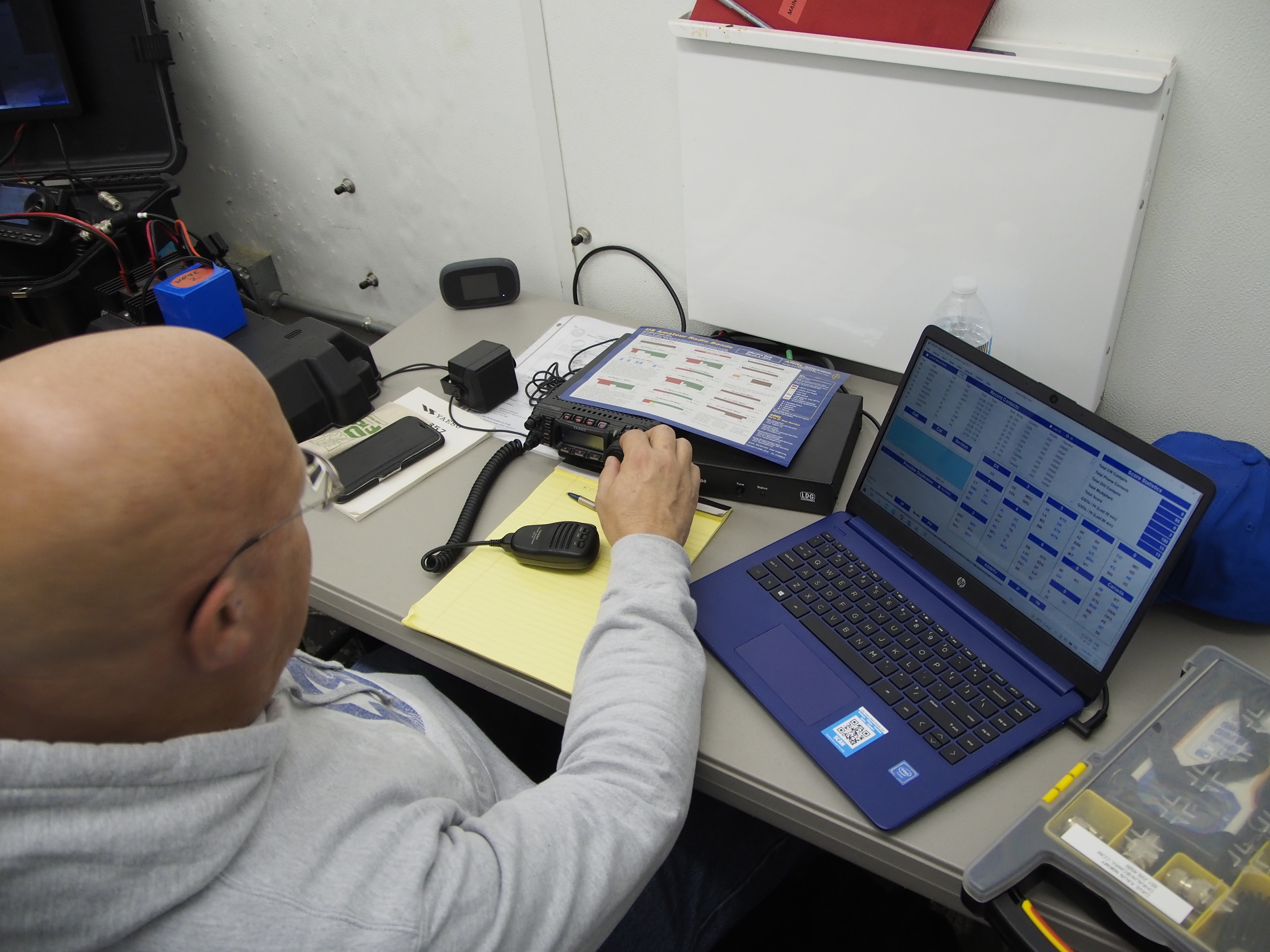
UPCOMING FEMA MULTI_REGIONAL COMMUNICATIONS EXERCISE, JULY 9, 2025
We’ve been invited to participate in a FEMA-led exercise simulating a major earthquake near Memphis, TN. The goal is to quickly gather and send local “ground truth” situational awareness reports using Winlink (radio or Telnet).
ARES members are encouraged to fill out and send the Field Situation Report form from the Winlink Express template library between 7:30 AM–7:00 PM EDT on July 9.
This is a valuable opportunity to practice rapid reporting, even with minimal preparation time—just like in real emergencies.
👉 For complete details and instructions, please see the original announcement:
https://sec-emcomm.groups.io/g/main/message/8052
and the PDFs attached to this story.

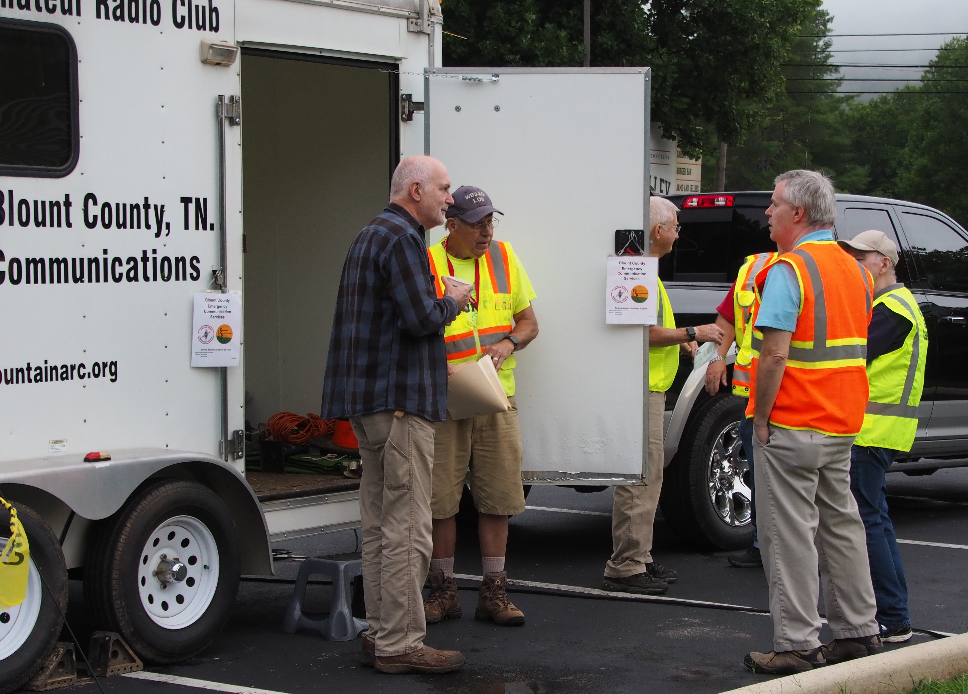
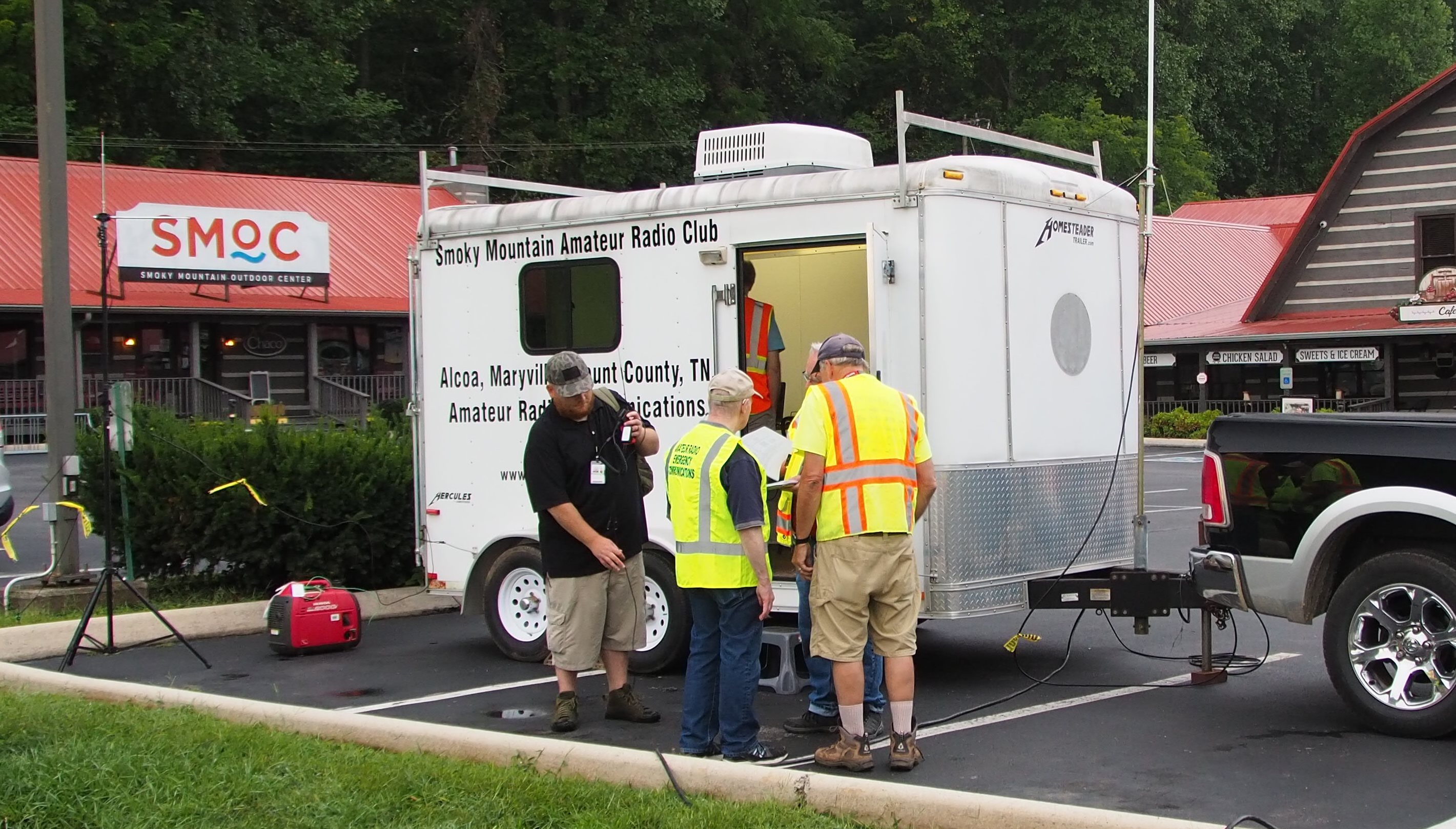
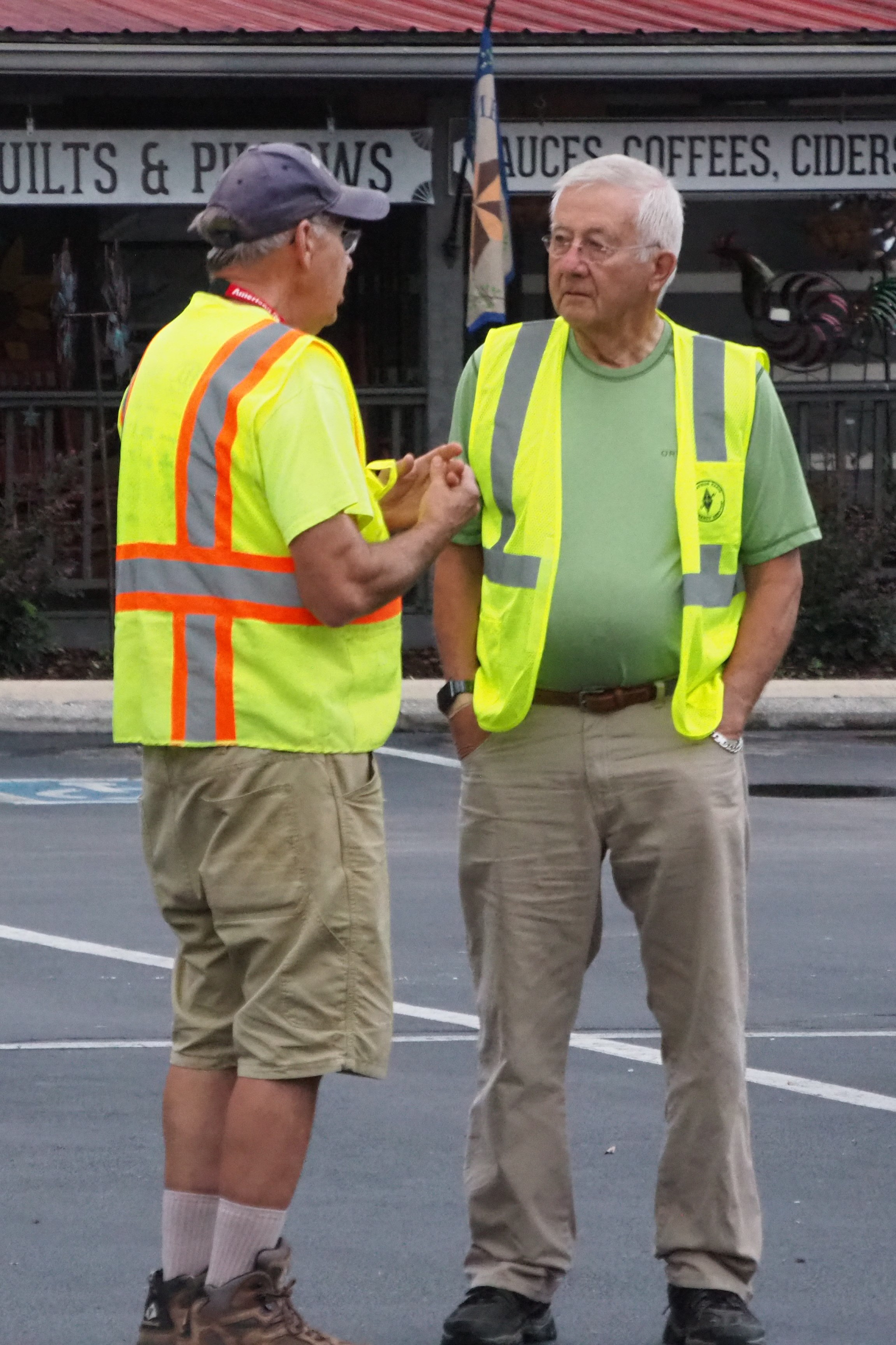
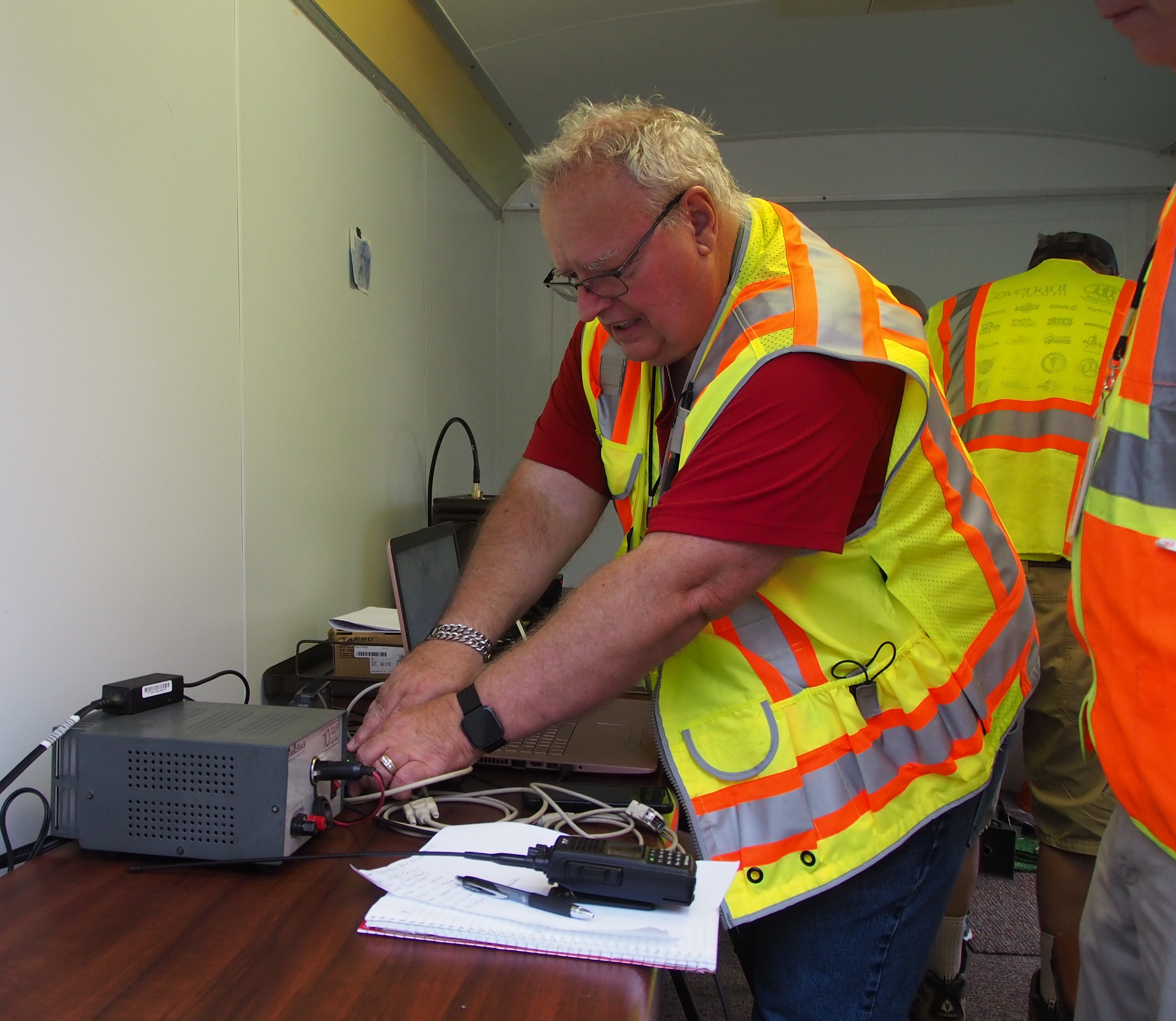
Blount County ARES Supports a Successful 2025 Tour de Blount
This past Saturday, Blount County ARES had the privilege of supporting the 2025 Tour de Blount, and we’re happy to report that the event was a great success!
Thanks to the outstanding efforts of our volunteers, communication was smooth throughout the day. Your time and dedication helped ensure safety and coordination across the course. We truly couldn’t have done it without you!
We’re also grateful to the Foothill Striders for their kind thank-you message—they appreciated our help and noted how valuable our presence was to the event’s success.
A big thank you as well to SMARC for the use of the 146.655 repeater. Coverage was solid at all locations, and it made a real difference in our ability to stay connected.
Thanks again to everyone involved. We’re proud to continue supporting events like this in our community!

SMARC Repeater Coverage
At the meeting last night we had a discussion about which repeater(s) to use for the upcoming Tour de Blount event. We have a great relationship with the SMARC club and they have frequently allowed us to use their repeaters for our events, so some discussion was had about the coverage of those repeaters.
Dave, N9KMY, had previously used Radio Mobile to estimate the coverage of these repeaters and he has shared that information with us.
The attached a 4 page PDF shows the theoretical coverage of both the 146.655MHz and 443.075 MHz SMARC repeaters. To load this program Dave assumed the noted tower/antenna/power for each repeater and worked into a portable as noted on each projection.
Page 1: Repeater locations
Page 2: 443.075 at its present site
Page 3: 443.075 if it were at Res Hill
Page 4: 146.655 at its present location
With a mobile and vehicle mounted antenna the performance would be even better.
This was a projection using the known criteria within the Radio Mobile propagation program.
Upcoming Events
8 JAN
9:00pm - 9:15pm, 8 Jan
Blount ECS Weekly Net
This is our weekly, Thursday night net. Please check-in if you are available. Surrounding counties are welcome to check-in so we can confirm our cross-county communications.
If the net is not called by 9:05 PM, assume that net control is not available and call the net.
The Blount County ARES net normally meets on Thursday at 9:00 PM using 146.625 MHz, tone 118.8 Hz, offset -0.600 MHz as the primary frequency. Alternate frequencies include 146.655, offset -600, tone 100 Hz and 445.900 MHz (simplex).
Anytime there is severe weather or an area emergency you should monitor our primary frequencies and the Blount Memorial Hospital simplex frequency 147.420 for help requests.
.
15 JAN
9:00pm - 9:15pm, 15 Jan
Blount ECS Weekly Net
This is our weekly, Thursday night net. Please check-in if you are available. Surrounding counties are welcome to check-in so we can confirm our cross-county communications.
If the net is not called by 9:05 PM, assume that net control is not available and call the net.
The Blount County ARES net normally meets on Thursday at 9:00 PM using 146.625 MHz, tone 118.8 Hz, offset -0.600 MHz as the primary frequency. Alternate frequencies include 146.655, offset -600, tone 100 Hz and 445.900 MHz (simplex).
Anytime there is severe weather or an area emergency you should monitor our primary frequencies and the Blount Memorial Hospital simplex frequency 147.420 for help requests.
.
20 JAN
7:00pm - 9:00pm, 20 Jan
Blount County ECS Monthly Meeting
Blount County ECS Monthly Meeting
held at:
Blount County E-911 Center
1431 William Blount Dr.
Maryville, TN 37801